chezvousantiques
1880's Map of Holland, Belgium,Denmark, Sweden, & Norway
1880's Map of Holland, Belgium,Denmark, Sweden, & Norway
Regular price
$119.00 USD
Regular price
Sale price
$119.00 USD
Unit price
per
Couldn't load pickup availability
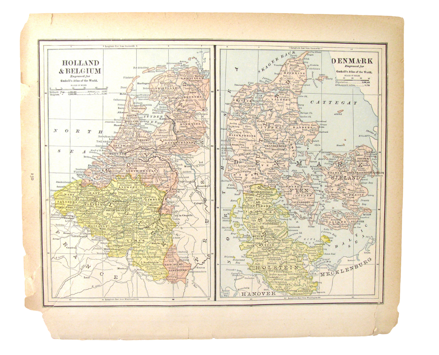
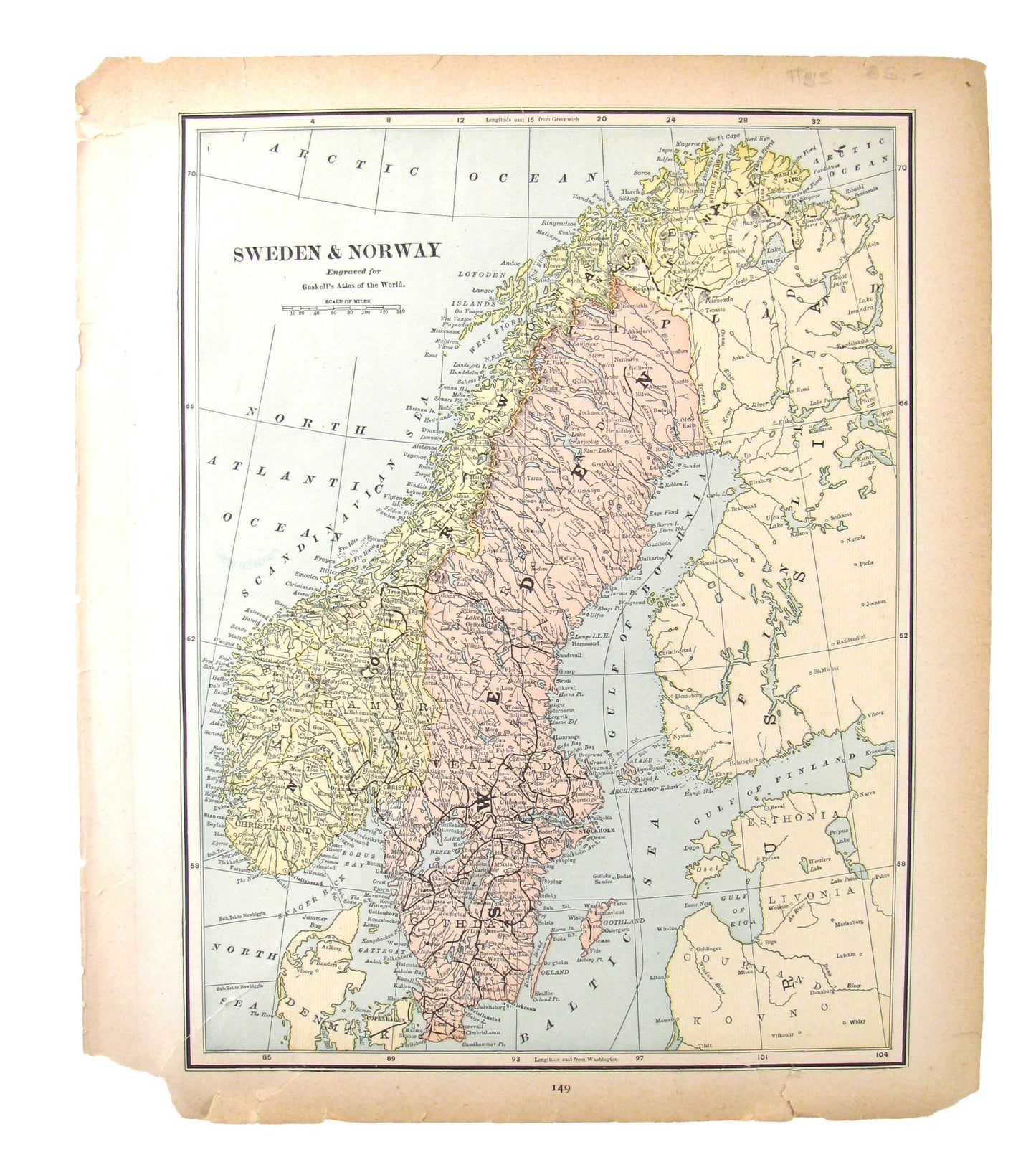
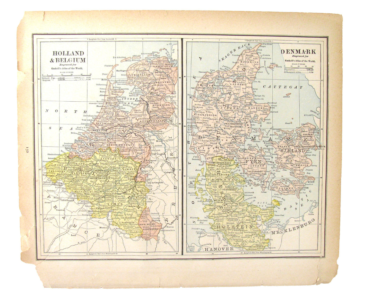
Perfect souvenir of a trip to Northern Europe -- Belgium, the Netherlands, and Denmark in one image, Sweden and Norway on the reverse. Wonderful to display in an entry, study, hallway, or office. Pastel colors are vibrant and strong.
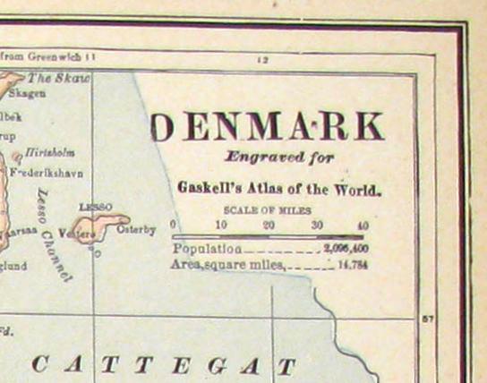
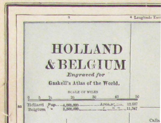
This colorful antique map features Belgium, Holland, and Denmark on one side with Sweden and Norway on the other. According to the information listed below the country names, these maps are engraved plates for "Gaskell's Atlas of the World". No copyright date appears on the engraving, but from the population statistics included, the maps appear to have been produced sometime between 1879 and 1883 . Suitable for framing in a frame of your choosing (not included).
Image within border: 12.125"W x 9.25"H; overall 13.5"W x 11.5"H.
Condition is fair with brilliant coloration; paper toning /wear/loss; tears in image lower left. Free local pickup; otherwise shipped via economical parcel delivery.
View full details
This colorful antique map features Belgium, Holland, and Denmark on one side with Sweden and Norway on the other. According to the information listed below the country names, these maps are engraved plates for "Gaskell's Atlas of the World". No copyright date appears on the engraving, but from the population statistics included, the maps appear to have been produced sometime between 1879 and 1883 . Suitable for framing in a frame of your choosing (not included).
Image within border: 12.125"W x 9.25"H; overall 13.5"W x 11.5"H.
Condition is fair with brilliant coloration; paper toning /wear/loss; tears in image lower left. Free local pickup; otherwise shipped via economical parcel delivery.
-
Shipping
Share the details of your shipping policy.
-
Returns
Share the details of your return policy.
Image with text
Pair text with an image
Pair text with an image to focus on your chosen product, collection, or artist. Add details on availability, style, or even provide a review.
Image with text
Pair text with an image to provide extra information about your brand or collections.
